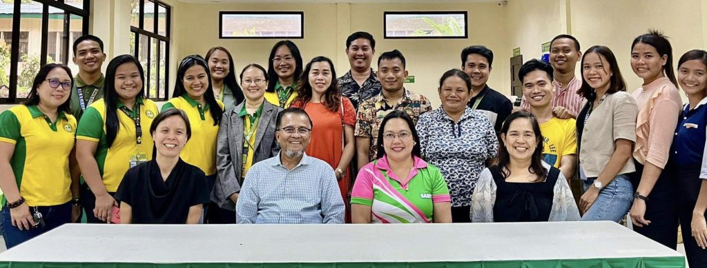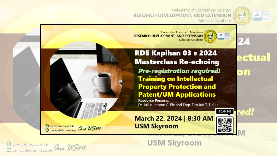
Experience Masterclass Workshop on Intellectual Property Protection
March 18, 2024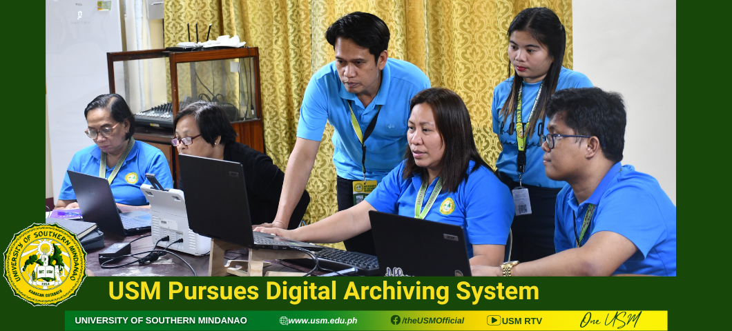
USM Pursues Digital Archiving System
March 21, 2024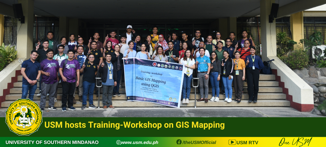
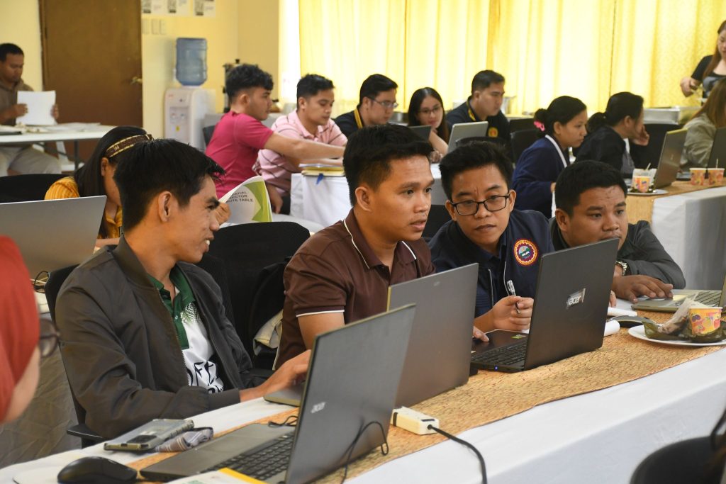
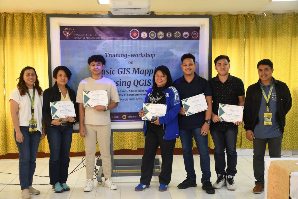
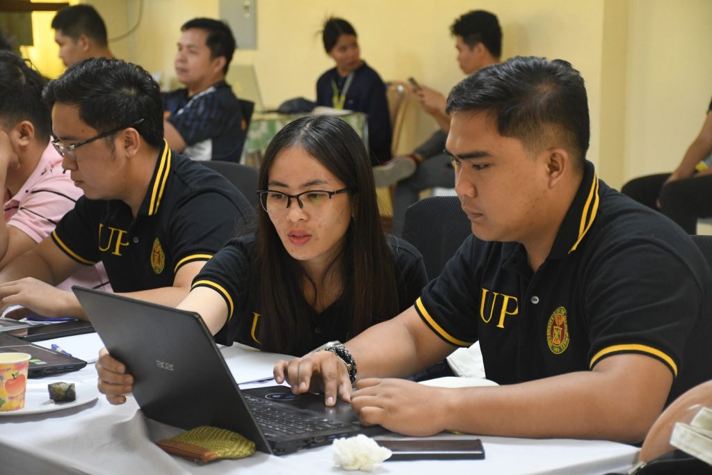
The University of Southern Mindanao (USM) hosted a two-day ‘Training-Workshop on Geographic Information System (GIS) Mapping’ on March 18-19, 2024, at the USM Administration Skyroom.
In his opening remarks, USM President Francisco Gil N. Garcia highlighted the critical role of GIS technology, stating, “GIS technology is more than just mapping software; it is a powerful tool that allows us to visualize, analyze, and interpret spatial data, enabling us to gain insights that would otherwise remain hidden, empowering decision-makers to make informed choices that impact communities, environments, and economies.”
Further, under the project leader Dr. Jennet R. Mag-aso, the project titled “Assessment and Characterization of Water Quality, Inland Capture Fisheries, Watershed, and Socio-economic of Important Water Bodies for Social and Economic Transformation in Central Mindanao” is strengthened and explored through GIS Mapping, which plays a vital role under the project component ‘Watershed Characterization’.
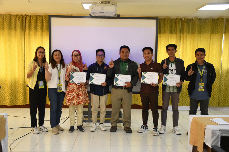
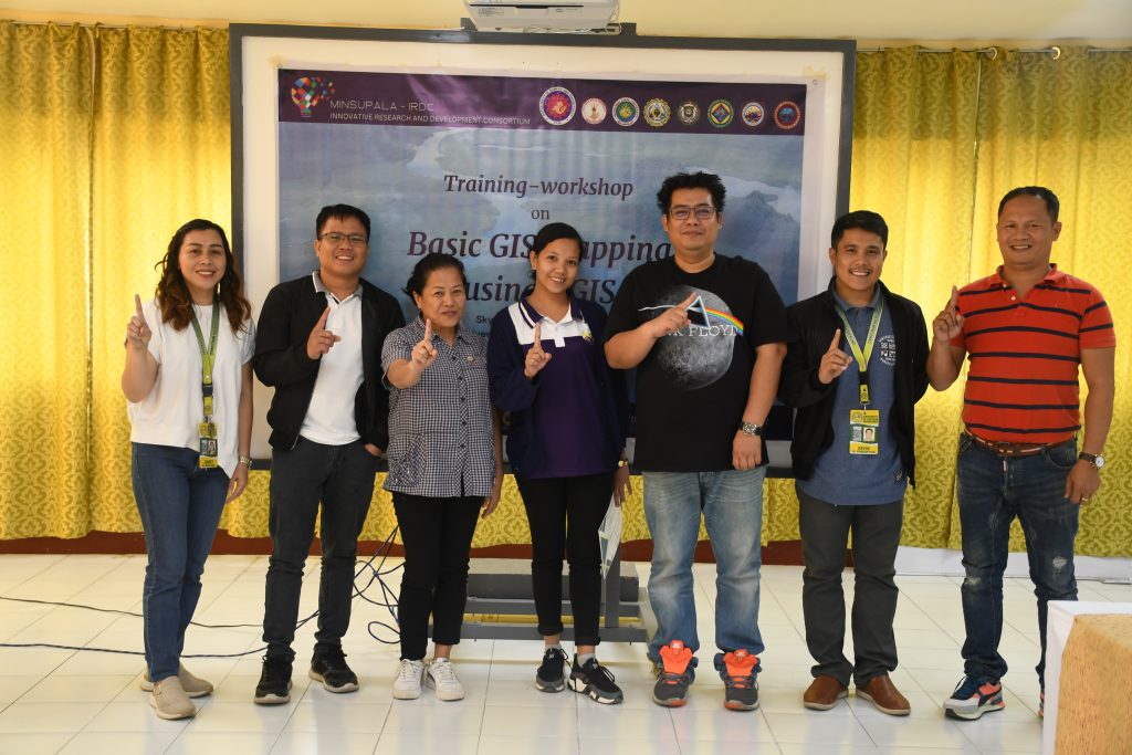
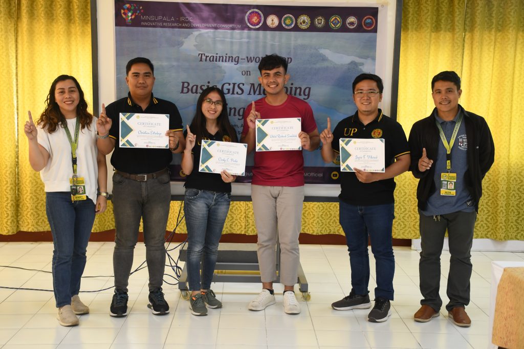
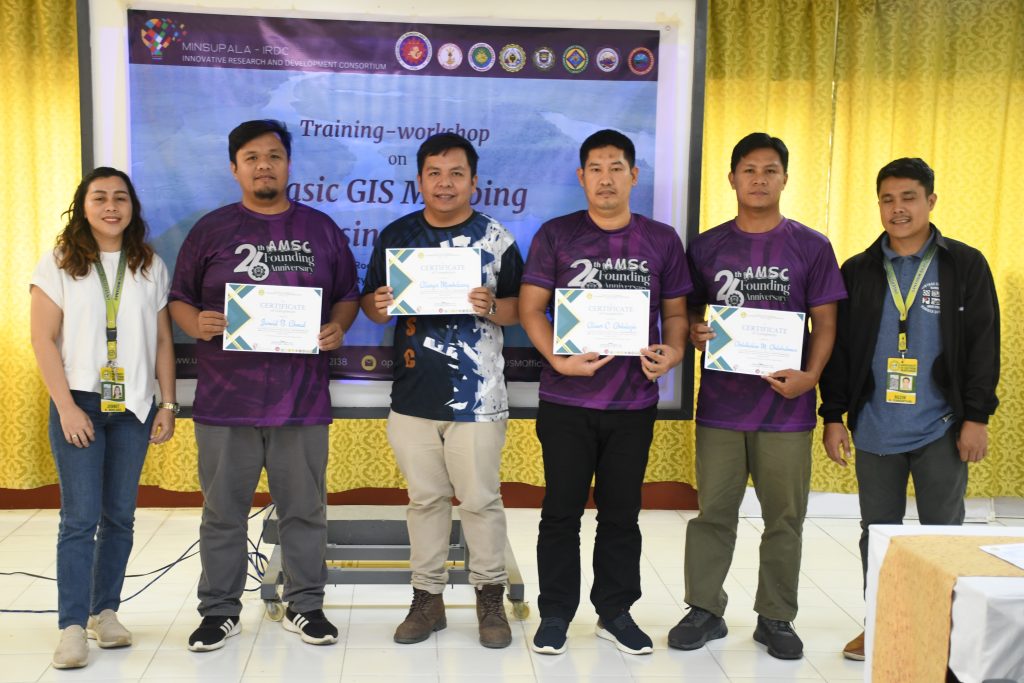
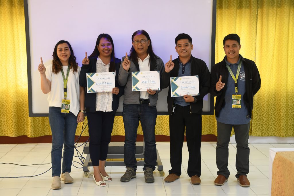
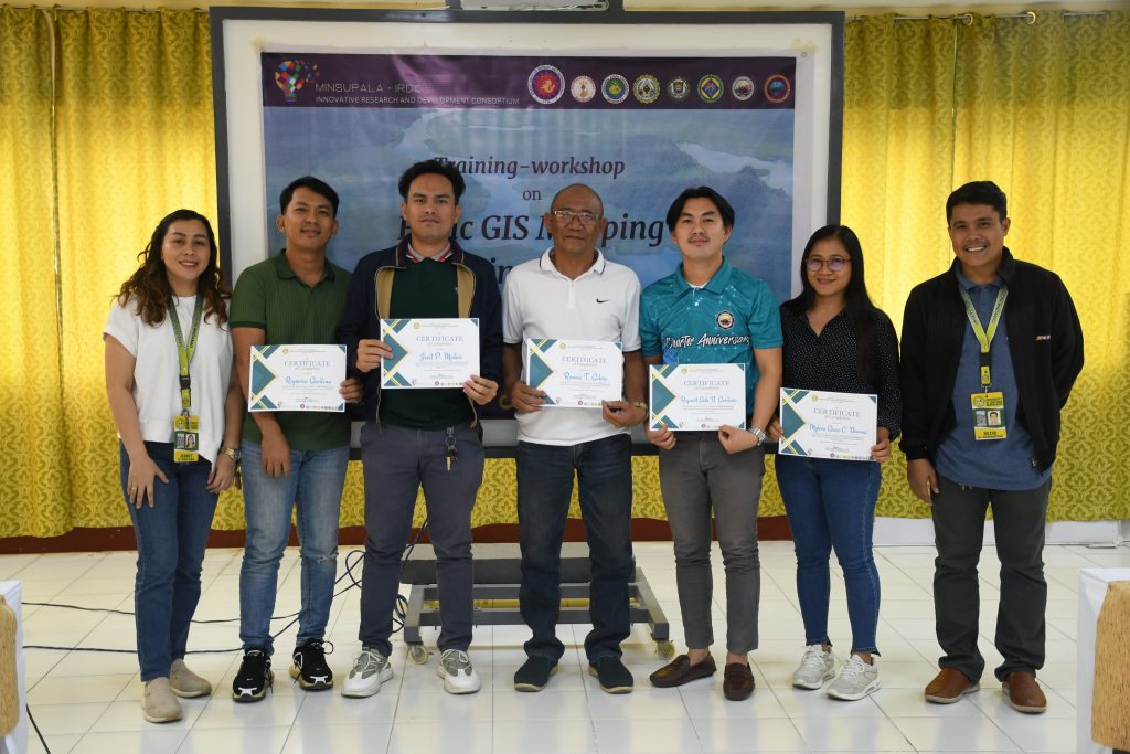
Mr. Rezin C. Cabantug, Engr. Andre Kate C. Castañada and Dr. Jennet R. Mag-aso discussed the following: Familiarization with Geographic Information Systems (GIS) Technology, Cartographic Design and Map Creation, Installation and Familiarization of Android App, Perform Mobile GIS Survey and Tagging, Data Management, and Working with Database.
Implementing Agencies included Mindanao State University – Maguindanao (MSU), Sultan Kudarat State University (SKSU) Tacurong City, Cotabato State University (CotSU), Adiong Memorial State College (ADSC) Ditsaan-Ramain, Lanao del Sur, South Cotabato State College (SCSC), Mindanao State University (MSU) General Santos City, University of Southern Mindanao (USM) Kabacan, North Cotabato, University of Southern Mindanao – Kidapawan in Kidapawan City (KCC), and Cotabato Foundation College of Science and Technology (CFCST).